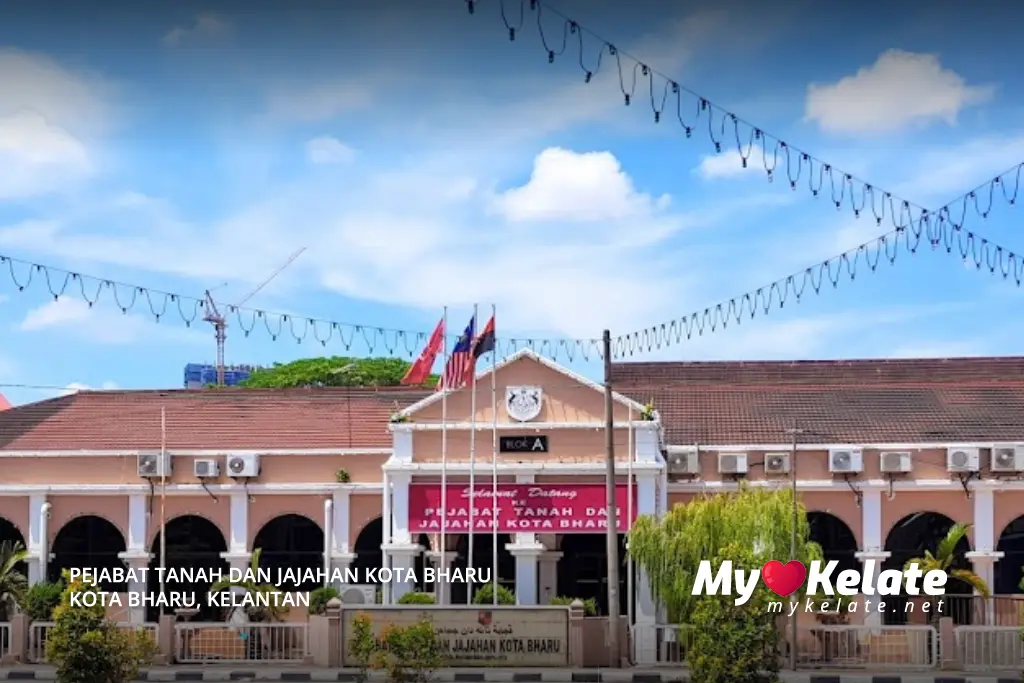
Pejabat Tanah Dan Jajahan Kota Bharu
Today Closed UTC+8
08:00 AM - 05:00 PM
-
Monday
08:00 AM - 05:00 PM
-
Tuesday
08:00 AM - 05:00 PM
-
Wednesday
08:00 AM - 05:00 PM
-
Thursday
08:00 AM - 03:30 PM
-
Friday
Day Off
-
Saturday
Day Off
-
Sunday
08:00 AM - 05:00 PM


